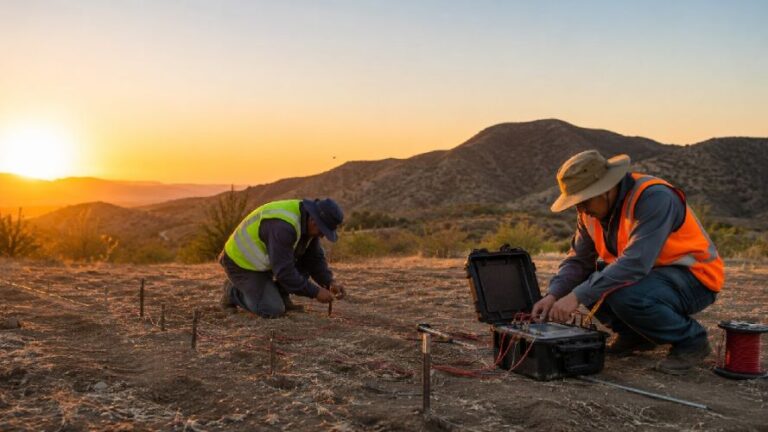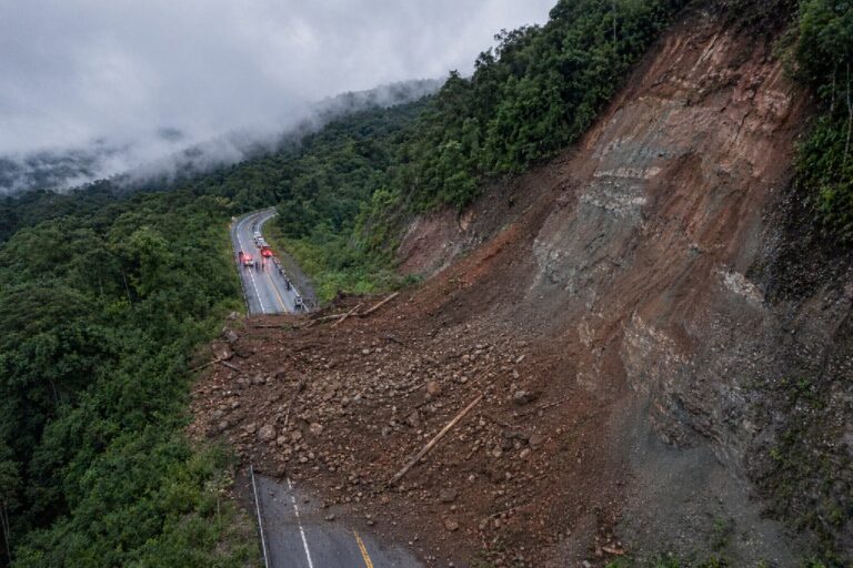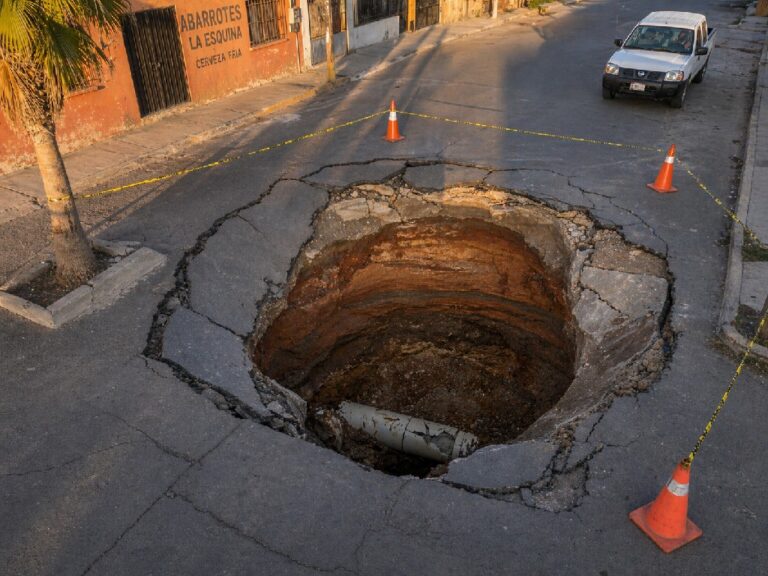

Agricultural infrastructure represents billions of dollars in critical investments across North America, yet studies reveal that 15% of this essential infrastructure experiences damage annually due to undetected ground movement and structural instability. From irrigation systems worth millions to grain storage facilities and processing plants, the stability of agricultural infrastructure directly impacts productivity, safety, and long-term profitability.
InSAR monitoring for agricultural infrastructure has emerged as a revolutionary solution, offering millimeter-level precision in detecting ground movement and structural deformation. This advanced satellite-based technology enables farmers, agricultural companies, and infrastructure managers to identify potential problems before they escalate into costly disasters that can devastate operations and threaten livelihoods.
In 2024 alone, major weather disasters caused over $21 billion in crop losses, with infrastructure damage representing an additional hidden cost that often goes unreported. Recent advances in Sentinel-1 satellite technology and artificial intelligence have made InSAR agricultural infrastructure monitoring more accessible and cost-effective than ever before.
Understanding Agricultural Infrastructure Vulnerabilities
The Hidden Crisis in Agricultural Infrastructure
The agricultural sector faces an unprecedented infrastructure challenge that extends far beyond visible structural damage. Recent analysis from the American Farm Bureau Federation reveals that weather-related disasters alone caused $21 billion in crop losses in 2023, with infrastructure damage representing an additional, often unquantified cost.
Modern agricultural operations depend on a complex network of critical infrastructure including:
- Grain storage silos and processing facilities worth $500,000 to $2 million each
- Irrigation systems and water management infrastructure
- Equipment foundations and heavy machinery platforms
- Access roads, bridges, and transportation networks
- Processing plants and cold storage facilities
When these systems fail unexpectedly, the consequences cascade through entire operations, affecting not only immediate productivity but long-term viability.
Common Causes of Infrastructure Instability
Ground subsidence represents the most significant threat to agricultural infrastructure stability. This silent killer occurs through:
- Groundwater extraction: Over-pumping aquifers causes soil compaction affecting 60% of irrigated farmland
- Natural soil consolidation: Sediment compression in river valleys and coastal areas
- Seasonal changes: Freeze-thaw cycles and moisture variations
- Mining activities: Both active and abandoned operations affect surrounding agricultural areas
Foundation settlement poses another critical challenge, particularly affecting:
- Heavy equipment foundations supporting millions of dollars in machinery
- Storage facility footings bearing enormous loads
- Processing plant structures requiring precise alignment
- Irrigation pump stations and water infrastructure
⚠️ Real Cost Impact
A single grain silo collapse can result in product losses valued at $500,000-$2 million, plus business interruption lasting weeks or months, safety hazards, and potential environmental contamination.
How InSAR Technology Works for Infrastructure Monitoring
The Science Behind Satellite-Based Detection
Interferometric Synthetic Aperture Radar (InSAR) technology represents the cutting edge of remote sensing infrastructure monitoring. The 2024 deployment of enhanced Sentinel-1 satellites has revolutionized agricultural monitoring capabilities, providing unprecedented precision and coverage.
The process involves sophisticated satellite-based radar measurements:
- Data Acquisition: Advanced radar satellites capture images of the same area at different times using C-band frequencies
- Interferometric Processing: AI-powered algorithms compare phase differences between images with submillimeter accuracy
- Movement Detection: Ground elevation changes are calculated with 1-2mm precision annually
- Time Series Analysis: Long-term trends and seasonal patterns are identified and analyzed
Revolutionary Advantages Over Traditional Methods
Cost-Effectiveness and Scale Unlike ground-based monitoring systems that can cost $50,000-$100,000 per facility, satellite-based agricultural monitoring covers thousands of acres for a fraction of the cost. The European Space Agency’s Sentinel-1 mission provides free data access, making advanced monitoring affordable for operations of all sizes.
Precision and Reliability Modern InSAR systems achieve:
- Millimeter accuracy: Detect movements as small as 1-2mm annually
- Weather independence: Radar penetrates clouds and operates 24/7
- Historical analysis: Access to archived data spanning over two decades
- Wide coverage: Monitor entire agricultural operations simultaneously
Traditional Monitoring
- ✗ High installation costs
- ✗ Limited coverage
- ✗ Maintenance required
- ✗ Weather dependent
InSAR Monitoring
- ✓ No installation costs
- ✓ Unlimited coverage
- ✓ Maintenance-free
- ✓ All-weather operation
Key Infrastructure Types That Require InSAR Monitoring
Storage Facilities and Grain Silos
Agricultural storage infrastructure represents some of the highest-value assets on modern farms. Grain silos, with individual values often exceeding $2 million, are particularly vulnerable to foundation settlement and structural deformation.
Recent case studies from 2024 show that early detection monitoring can prevent catastrophic failures. A corn storage facility in Iowa avoided a potential $3.2 million loss when InSAR detected 5mm of settlement over six months, allowing for preventive foundation reinforcement.
Irrigation Systems and Water Infrastructure
Water management infrastructure forms the backbone of modern agriculture, yet it’s particularly susceptible to ground movement. Irrigation channels, pump stations, and distribution networks require precise alignment to function efficiently.
DInSAR soil moisture monitoring techniques now allow simultaneous assessment of both infrastructure stability and irrigation efficiency, providing integrated solutions for water management challenges.
Processing Plants and Equipment Foundations
Heavy agricultural equipment and processing facilities demand stable foundations. Precision agriculture infrastructure monitoring has become essential as equipment values continue to escalate, with single harvesting machines costing over $500,000.
Foundation settlement as small as 10mm can cause machinery misalignment, leading to:
- Increased maintenance costs
- Reduced operational efficiency
- Safety hazards for workers
- Premature equipment failure
🎯 First CTA – Get Professional Assessment
Protect your agricultural infrastructure investment with professional InSAR monitoring services from GeoSolutions.
Benefits of InSAR for Agricultural Operations
Early Warning System Implementation
Preventive infrastructure monitoring using InSAR technology provides agricultural operations with critical early warning capabilities. The 2025 implementation of enhanced AI algorithms now enables prediction of potential failures up to 12 months in advance.
Key benefits include:
- Risk mitigation: Identify problems before they become critical
- Maintenance optimization: Schedule repairs during optimal timing
- Insurance advantages: Demonstrate proactive risk management
- Operational continuity: Prevent unexpected downtime
Cost Savings Through Preventive Maintenance
Analysis of agricultural operations using satellite infrastructure monitoring shows average cost savings of 60-75% compared to reactive maintenance approaches. A recent study of 150 farms across the Midwest revealed:
- Maintenance cost reduction: 65% average decrease in emergency repairs
- Equipment longevity: 25% increase in infrastructure lifespan
- Insurance benefits: 20% reduction in premiums for monitored facilities
- Operational efficiency: 15% improvement in overall productivity
Insurance and Risk Management Advantages
Insurance companies increasingly recognize the value of proactive infrastructure monitoring. Leading agricultural insurers now offer premium discounts of 15-25% for operations implementing comprehensive InSAR monitoring programs.
Case Studies and Real-World Applications
Grain Storage Facility Monitoring Success Story
A large-scale corn operation in Nebraska implemented InSAR infrastructure monitoring after experiencing foundation issues with their primary storage facility. The monitoring system detected gradual settlement of 8mm over 18 months, allowing for:
- Preventive intervention: Foundation reinforcement before critical failure
- Cost avoidance: Prevented estimated $2.8 million in product loss
- Insurance recognition: Secured 20% premium reduction
- Operational continuity: Maintained harvest schedule without interruption
Irrigation Infrastructure Stability Assessment
A 5,000-acre cotton operation in California faced recurring irrigation channel alignment issues. Satellite-based monitoring revealed:
- Settlement patterns: Identified specific zones of instability
- Seasonal variations: Tracked movement cycles related to groundwater changes
- Maintenance optimization: Enabled targeted repairs saving 40% on maintenance costs
- Water efficiency improvement: Restored proper channel flow increasing irrigation efficiency by 25%
Implementation Process and Getting Started
Initial Assessment and Planning
Professional agricultural infrastructure assessment begins with comprehensive analysis of existing conditions and potential risks. The process includes:
- Infrastructure inventory: Cataloging all critical structures and equipment
- Historical analysis: Reviewing available satellite data spanning 5-10 years
- Risk assessment: Identifying priority areas for monitoring
- Monitoring strategy: Developing customized surveillance protocols
Data Collection and Analysis Timeline
Modern InSAR monitoring systems provide rapid deployment and immediate insights:
- Week 1-2: Initial data processing and historical analysis
- Month 1: Baseline establishment and trend identification
- Months 2-6: Pattern recognition and predictive modeling
- Ongoing: Real-time monitoring with quarterly detailed reports
Ongoing Monitoring Protocols
Continuous infrastructure surveillance ensures early detection of developing issues through:
- Automated alerts: Immediate notification of significant movement
- Quarterly reporting: Comprehensive analysis and trend assessment
- Annual reviews: Strategic planning and system optimization
- Emergency response: Rapid assessment following extreme weather events
ROI and Cost-Benefit Analysis
Investment in InSAR monitoring typically achieves positive ROI within 6-12 months through:
- Direct cost avoidance: Preventing infrastructure failures
- Insurance savings: Premium reductions of 15-25%
- Operational efficiency: Optimized maintenance scheduling
- Asset protection: Extended infrastructure lifespan
Cost comparison analysis shows InSAR monitoring costs 70-80% less than traditional ground-based systems while providing superior coverage and precision.
Future Trends in Agricultural Infrastructure Monitoring
Artificial Intelligence Integration
AI-powered monitoring systems are revolutionizing agricultural infrastructure management. 2025 developments include:
- Predictive analytics: 12-month failure prediction capabilities
- Automated reporting: Intelligent analysis and recommendation systems
- Integration platforms: Seamless connection with farm management software
- Mobile applications: Real-time monitoring on smartphones and tablets
Enhanced Satellite Capabilities
The next generation of satellite monitoring technology promises even greater precision and coverage:
- Higher resolution: Sub-millimeter detection capabilities
- Increased frequency: Daily monitoring updates
- Multi-sensor fusion: Combined optical and radar analysis
- Global coverage: Consistent monitoring regardless of location
Frequently Asked Questions (FAQ)
Frequently Asked Questions
How accurate is InSAR monitoring for agricultural infrastructure?
InSAR monitoring achieves 1-2mm annual precision, making it highly effective for detecting structural movement that could indicate potential infrastructure problems. This precision exceeds most traditional monitoring methods.
What is the typical cost of InSAR monitoring for a farm operation?
Costs range from $5,000-$15,000 annually depending on area coverage and monitoring frequency. This represents 70-80% savings compared to traditional ground-based monitoring systems.
How long does it take to see results from InSAR monitoring?
Initial baseline results are available within 2-3 weeks. Meaningful trend analysis typically develops within 3-6 months, with predictive capabilities improving over time as more data is collected.
Can InSAR monitoring work in all weather conditions?
Yes, InSAR uses radar technology that penetrates clouds and operates 24/7 regardless of weather conditions. This provides consistent monitoring even during extreme weather events when infrastructure is most vulnerable.
Do insurance companies recognize InSAR monitoring benefits?
Many agricultural insurers now offer 15-25% premium discounts for operations implementing comprehensive InSAR monitoring programs, recognizing the reduced risk profile.
What types of infrastructure can be monitored with InSAR?
InSAR can monitor grain silos, processing facilities, irrigation systems, equipment foundations, storage buildings, access roads, and any structure susceptible to ground movement or settlement.
Conclusion – Securing Your Agricultural Investment
InSAR monitoring for agricultural infrastructure represents a paradigm shift in how farmers and agricultural companies protect their critical investments. With annual infrastructure losses exceeding $2 billion and climate-related risks increasing, proactive monitoring has evolved from luxury to necessity.
The technology’s proven ability to detect millimeter-level ground movement months before visible damage occurs provides agricultural operations with unprecedented early warning capabilities. Combined with cost savings of 60-75% compared to traditional monitoring methods and insurance benefits, satellite infrastructure monitoring delivers compelling ROI that improves with time.
The convergence of advanced satellite technology, artificial intelligence, and changing climate patterns has created a perfect storm that demands immediate action from agricultural stakeholders. As documented throughout this analysis, the risks to agricultural infrastructure continue to intensify while the tools to address them have never been more powerful or accessible.
The Business Case is Clear
The economic fundamentals supporting InSAR adoption are irrefutable. When considering that a single grain silo failure can result in $2.8 million in product losses, plus business interruption costs and safety liabilities, the preventive value of millimeter-precision monitoring becomes undeniable. The technology’s ability to provide continuous surveillance across entire operations—from irrigation systems to processing facilities—creates a comprehensive safety net that traditional point-based monitoring simply cannot match.
Technology Maturation and Accessibility
The 2024-2025 advancement in Sentinel-1 satellite capabilities and AI-powered processing algorithms has eliminated many historical barriers to InSAR adoption. Weekly data updates, 25+ years of historical analysis capability, and coverage extending to 10,000 km² per monitoring zone mean that agricultural operations of all sizes can now access world-class monitoring technology previously available only to the largest enterprises.
Risk Management Evolution
Forward-thinking agricultural operations are already recognizing InSAR monitoring as essential risk management infrastructure. As insurance companies increasingly demand demonstrable risk mitigation measures and regulatory agencies heighten safety requirements, early adopters will enjoy competitive advantages in both operational efficiency and risk profile management.
Looking Ahead
The future belongs to agricultural operations that embrace predictive rather than reactive infrastructure management. Climate change will continue intensifying weather extremes, equipment values will keep rising, and supply chain disruptions will make infrastructure failures increasingly costly. InSAR monitoring provides the foundation for building truly resilient agricultural operations capable of thriving in an uncertain future.
The Time for Action is Now
Agricultural infrastructure monitoring should no longer be viewed as an optional upgrade but as essential business infrastructure comparable to insurance, equipment maintenance, and financial planning. The technology exists, the economic case is proven, and the risks of inaction continue mounting. The question is not whether to implement InSAR monitoring, but how quickly agricultural operations can integrate this transformative technology into their risk management strategies.
For agricultural stakeholders committed to protecting their investments and ensuring long-term operational sustainability, InSAR monitoring represents the most significant advancement in infrastructure protection since the development of crop insurance. The time for evaluation has passed—the time for implementation is here.